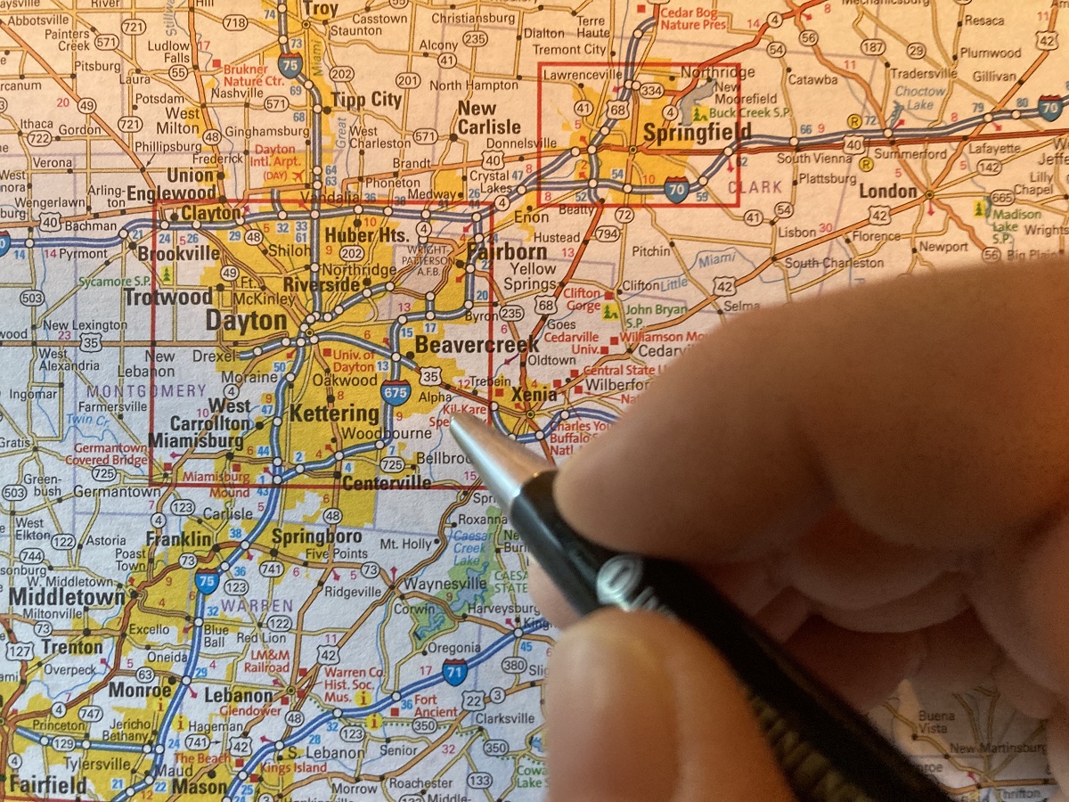
Reading An Atlas
Yes. Your read it right. I read the atlas like a storybook. It is a childhood habit and it all started with my geography teacher at school. She was not only a beautiful person, was also a fantastic teacher. Her free-hand drawings of the maps of different countries on the blackboard and her way of teaching the subject would take me to that country that she was teaching.
She taught us how to read the atlas. The blue color of the river, lakes, and seas, the dark brown of the mountains, the yellow of the deserts fascinated me. I told myself that one day I will travel and experience how these places which I saw in a book looked like in reality. I was bitten by the travel bug.
The use of maps and cartography (the science or practice of drawing maps) has a very long history. The name Atlas came from the mythological Greek god “Atlas”. “Atlas” was forced to hold the earth and heaven on his shoulder by God as a punishment.
The earliest known atlas is associated with Greco-Roman geographer Claudius Ptolemy. His work Geographia was the first-ever book of maps and the first publication of this book can be dated to 1475. Many explorers like Christopher Columbus, John Cabot contributed to the world’s geography in the late 1400s.
The first modern Atlas was printed by Abraham Ortelius, in 1570 and was called the Theater of the World. By the 19th century, the Atlas became more detailed and specific. Geographic Information Systems (GIS) helped in getting more details about places and this gave in-depth data and various statistics about specific regions.
In modern times there are different types of atlas. The most popular ones are the Reference Atlases. These are generally large and give detailed maps, graphs, tables, and other images of every country or region.
The Travel Atlases or roadmaps are smaller and easier to handle for people on the move. The focus on these atlases is more traveler-friendly, giving details of road and highway networks, tollgates, hotels and dhaabas, gas stations and petrol pumps, tourist attractions, and utility stores.
Reading an Atlas is like reading non-fiction. One has to develop a taste for it. This is a skill one has to nurture. It develops spatial thinking among the readers. Spatial thinking simply means “seeing in the mind’s eyes”. This skill allows picturing the locations of objects and shapes in relation to each other. Reading maps support spatial thinking by helping a person visualize where cities and countries are in relation to one another.
People who develop robust spatial thinking skills will be at an advantage in the present-day workplace or society which is global and technologically on the upward move.
Reading the atlas is one activity that can be enjoyable and it also helps in Mindfulness.
Mindfulness is a trending term. In simple words Mindfulness means, being in the Present. It helps in improving working memory, better focus, and improves mood. Reduces stress and improves both physical and mental health.
Atlas games are extremely interesting and fun. One can start with locating various states of our country and then move on to other countries.
Atlas can be used as a dictionary for finding places starting with any chosen alphabet.
It can be used for a treasure hunt game. Choose a particular country and then with given clues trace the route to the treasure.
The games and activities can be innumerable, one just has to be creative.
Reading the Atlas, as I mentioned earlier made me travel. I have traveled a lot and I make it a point of traveling as often as I can. When we were all cooped up inside the house due to the pandemic and travel was not possible, the Atlas helped me travel. I would open up any page and would start reading about the place. With the internet and the whole world in our computers, tabs, and laptops it was easy and fun. So go grab an Atlas, pick out your favorite country or place, and start reading.
Happy reading everyone.

